ANNUAL SCIENTIFIC FORUM

2ND INTERNATIONAL CONFERENCE ON GEOSPATIAL DATA SCIENCE: THEORY AND APPLICATION

26 - 27 October 2026

Semarang, Indonesia

CALL FOR PAPERS

Submit Your Abstract

Present your research at the Annual Scientific Forum of the Indonesian Surveyors Association (FIT ISI) and the 2nd International Conference on Geospatial Data Science: Theory and Application 2026 (GEODETA 2026).

:

:

:

Count Down to FIT ISI and Geodeta 2026

Days
Hours
Minutes
Seconds
ABOUT THE EVENT

Advancing Geospatial Intelligence for Sustainability and Resilience

FIT ISI 2026 and GEODETA 2026 bring together researchers, professionals, academics, and industry leaders to share innovations and future perspectives in geospatial science, surveying, remote sensing, GIS, GNSS, artificial intelligence, and spatial data analytics.


Join us in Semarang, Indonesia, on October 26–27, 2026, for inspiring discussions, scientific collaboration, and international networking opportunities that drive sustainable and resilient development through geospatial innovation.

WHY ATTEND?

Connect, Learn, and Innovate

Global Networking

Build connections with researchers, professionals, industry leaders, and policymakers from national and international geospatial communities.

Expert Insights

Gain valuable knowledge from keynote speakers, invited experts, and scientific discussions covering the latest trends in geospatial science and technology.

Collaboration & Opportunities

Discover opportunities for research collaboration, publication, innovation, and professional development in the era of geospatial intelligence and data science.

Keynote speakers

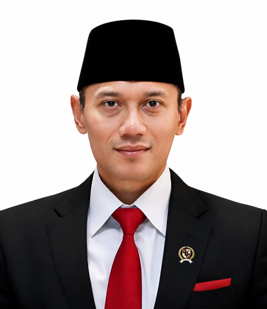
Dr. H. Agus Harimurti Yudhoyono, M.Sc., M.P.A., M.A..*
Minister of Infrastructure and Regional Development
Prof. Dr. Ir. Rachmat Pambudy, M.S.*
Minister of National Development Planning (BAPPENAS)

Invited speakers

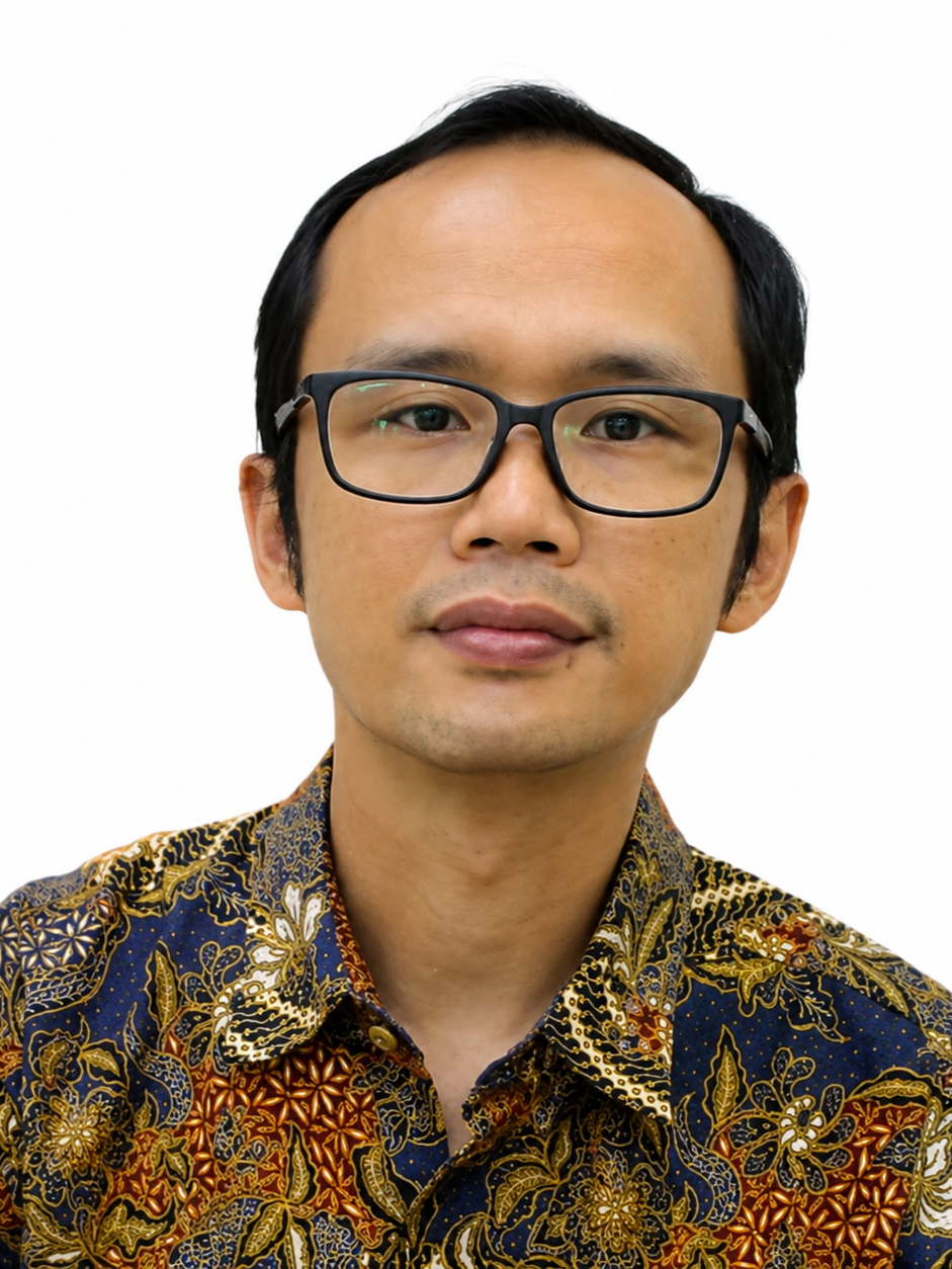
Prof. Ir. Trias Aditya K.M., S.T., M.Sc., Ph.D., IPU., ASEAN Eng.
DEPARTMENT OF GEODETIC ENGINEERING
UNIVERSITAS GADJAH MADA
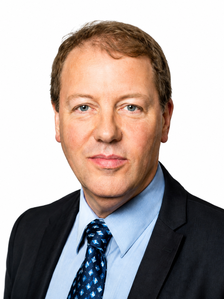
Prof. Dr. Walter Timo de Vries
TUM SCHOOL OF ENGINEERING AND DESIGN
TEHNICAL UNIVERSITY OF MUNICH
Dr. Dwi Budi Martono, S.T., M.T.
Senior Advisor to the Minister of ATR/BPN (Information Technology)
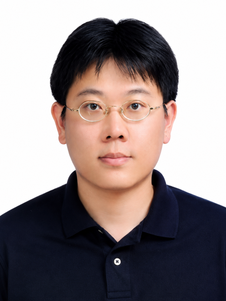
Prof. Chung-Yen Kuo
Department of geomatics
national cheng kung university
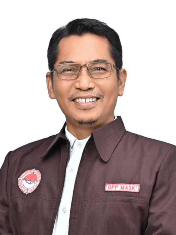
Ir. Azis Djabbarudin, S.T., M.H.
Head of the Indonesian Society of Cadastral Surveyors (MASKI)
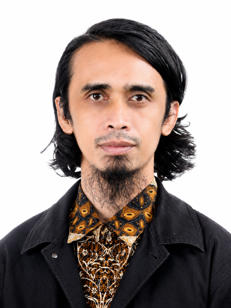
Dr. Firman Hadi, S.Si, M.T.
Department of geodetic engineering
universitas diponegoro
OUR PARTNERS

Our sponsors

Plantinum Sponsors
Gold Sponsors
Gold Sponsors

Registration is Now Open!

Join researchers, professionals, academics, and students in advancing innovation and collaboration in surveying, geodesy, and geospatial sciences.

Informations

Conferences Updates

SCHEDULE DETAILS

Event schedule

James Killer

UX Lead, Shopify

Inclusion is not your job!

Marissa Louie

UX Lead, Shopify

Uplevelling design at SiriusXM & Pandora

Robert Pattinson

UX Lead, Shopify

The reason you are failing and how to fix it

Marissa Louie

UX Lead, Shopify

Uplevelling design at SiriusXM & Pandora

Robert Pattinson

UX Lead, Shopify

The reason you are failing and how to fix it

James Killer

UX Lead, Shopify

Inclusion is not your job!

James Killer

UX Lead, Shopify

Inclusion is not your job!

Robert Pattinson

UX Lead, Shopify

The reason you are failing and how to fix it

Marissa Louie

UX Lead, Shopify

Uplevelling design at SiriusXM & Pandora

REGISTRATION

Registration Fees

ISI Membership

Rp1.000.000,-

General

Rp1.100.000,-

Student

Rp750.000,-

International

$80

Testimonials

What others say about us

HELP CENTER

Frequently Asked Questions

You can register online through the Registration page. Select your participant category, complete the registration form, and follow the payment instructions.

Abstracts can be submitted through the Abstract Submission page. Please follow the submission guidelines and ensure your manuscript meets the required format before the deadline.

The conference welcomes researchers, academics, professionals, government representatives, industry practitioners, and students interested in surveying, geodesy, and geospatial sciences.

Accepted papers will be included in the conference proceedings according to the publication policy announced by the organizing committee.